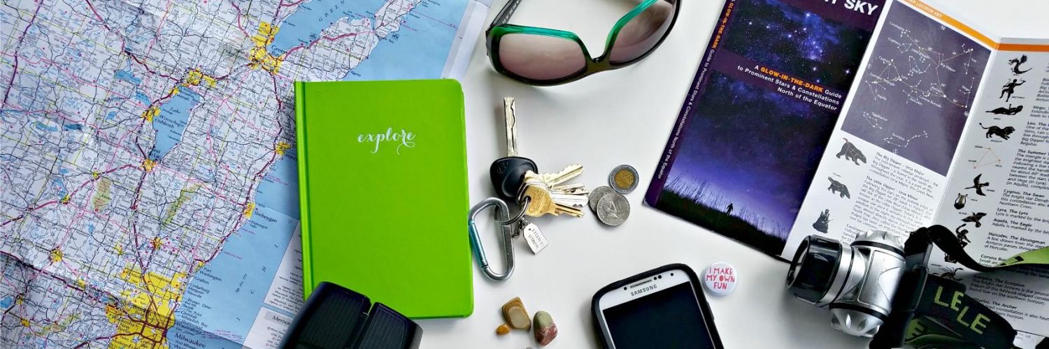


Yesterday my son and I hitched a ride with my parents to Colorado. We drove for 17 1/2 hours and my son slept for just one of those hours. What did we do to keep from going insane in the car? well, we tracked our elevation as we traveled. My parents started doing this on their earlier road trips out to Colorado using my dad’s handheld GPS gizmo. It turns out it’s a good travel activity for school-age kids as well!
Our Travel in Elevation
1. Leaving Green Bay we noted our starting “altitude”, a whopping 593 feet above sea level.
2. Gas station in Iowa
Elevation: 809 feet
Miles driven: 345
Time spent in car: 6 hours

3. Iowa rest stop with ginormous windmill blade
Elevation: 1417 feet
Miles driven: 492
Time spent in car: 8 1/2 hours
4. Grand Island, Nebraska gas stop
Elevation: 1968 feet
Miles driven: 718
Time spent in car: Starting to lose track/becoming delirious
5. Passing through Cheyenne, Wyoming
Elevation: 6,062 feet
Miles driven: 1,059
Time spent in car: 17 hours
6. Pulling into Fort Collins
Elevation: 5, 003 feet
Miles driven: 1,103
Time spent in car: OMG
It was pretty cool keeping track of our progress in miles, time and elevation. It kind of put things in perspective as we also tracked our progress on a map. It’ll be even cooler when we head into Rocky Mountain National Park later this week!
Nice Ft. Collins. 2hrs away from where we live! Hope you have a grand time.
Thanks! We always have a great time in Colorado. I wish we could come out more often!
Loving that sleeping photo. lol. That would be neat game to play and very interesting to know the elevation of where you are. : )